Plot Demarcation and Boundary Verification Before Purchase
Understand Plot Demarcation and Boundary Verification, boundary stones, survey records, site measurements and professional checks before purchase.
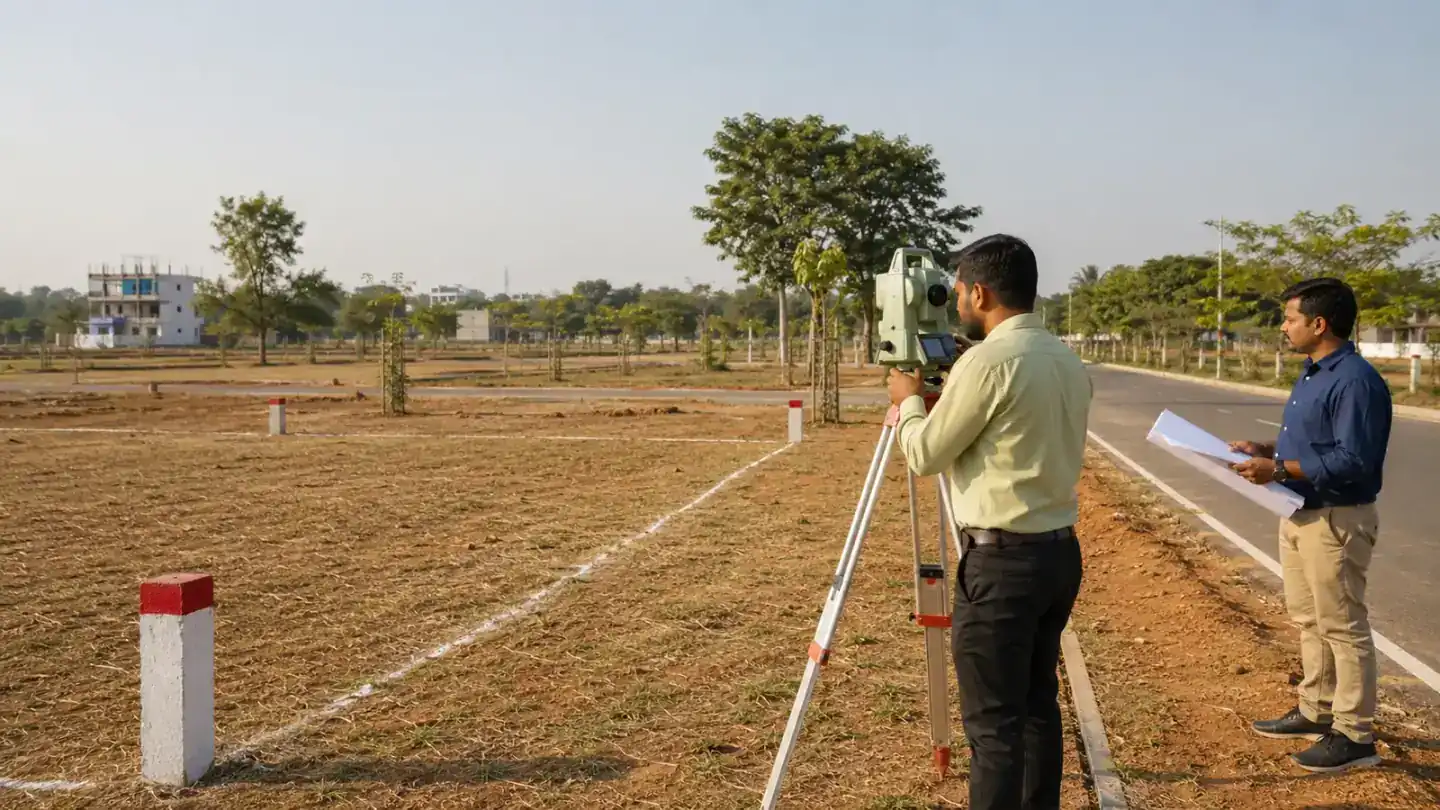
Table of Contents
Plot Demarcation and Boundary Verification connects a plot shown on paper with its actual position on the ground. A layout may identify a plot number and dimensions, but buyers should also understand where each corner lies, what adjoins every side and whether the physical occupation matches the records.
Demarcation is different from simply walking around a site or measuring between convenient stones. It should rely on relevant survey records, reference points and qualified field work. This guide explains the buyer's role without replacing the competent authority, surveyor or lawyer.
Quick Summary
- Plot identification and legal boundary confirmation are related but not identical.
- Boundary stones are useful only when correctly placed and referenced.
- Survey numbers, plot plans, dimensions and document schedules should align.
- A qualified survey is important when any side or corner is uncertain.
- Resolve discrepancies before construction or final purchase.
What Plot Demarcation and Boundary Verification Means
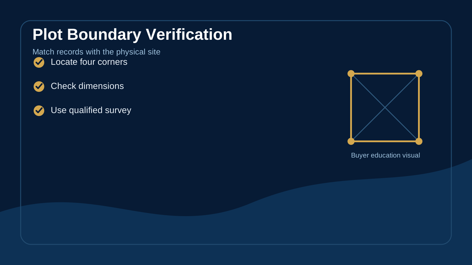
Demarcation is the process of locating and marking land boundaries using applicable records and measurements. For a plotted development, this may include identifying the plot within the layout, establishing corner points and checking its relationship with adjoining plots and roads.
Plot boundary confirmation helps answer a practical question: does the site being shown correspond with the property described in the documents? It does not by itself replace title verification, layout approval review or registration checks.
Documents and References Used
- Approved or applicable layout plan
- Survey number and subdivision information
- Property schedule in the title or sale document
- Survey maps or land parcel maps where applicable
- Road lines and adjoining property references
- Previous survey records or field measurements where relevant
Our guides to property survey maps and survey numbers in land records explain the supporting records in more detail.
Why Boundary Stones Are Not Enough
A stone can be displaced, installed approximately or confused with another marker. Vegetation, road work, filling and neighbouring construction can also change what is visible. A boundary marking check should therefore connect each marker with the relevant plan and measurement.
Do not assume that an existing compound wall is automatically the legal boundary. It may be correct, set inside the line or disputed. Professional review is especially important before building a permanent wall.
Plot Demarcation and Boundary Verification Red Flags
- One or more corners cannot be identified.
- Measured sides differ materially from the documents.
- The plot appears to overlap a road, drain or adjoining occupation.
- Neighbouring fencing crosses the expected line.
- The plot shape on site differs from the layout.
- Different representatives identify different locations.
The Practical Verification Sequence
- Collect the latest relevant documents.
- Identify the survey number, plot number and property schedule.
- Locate the plot on the layout and on the ground.
- Ask a qualified professional to establish reference points.
- Measure and mark the corners and sides.
- Compare area, shape, boundaries and adjoining features.
- Record the survey result and resolve discrepancies.
This land demarcation process may differ according to land type, jurisdiction and the records available. Buyers should not use a generic online procedure as a substitute for the correct local authority.
Official Telangana Land-Record Context
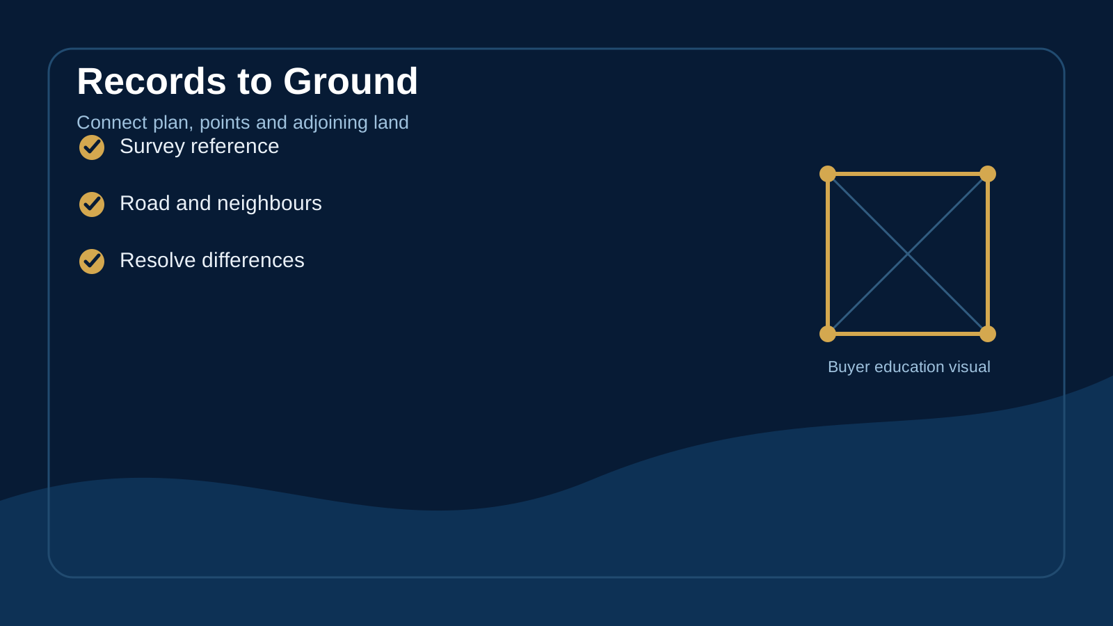
The Government of Telangana's Bhu Bharati services overview describes land records, survey maps and land parcel information among its services. District Survey and Land Records pages also describe public functions related to demarcation. For example, the Siddipet Survey and Land Records page identifies boundary fixing and record maintenance as departmental functions.
Online availability and the correct application route can vary. Use the official channel applicable to the property and obtain local professional guidance.
Demarcation Before Purchase and Before Construction
Before purchase, a site boundary survey helps confirm that the property being considered is physically identifiable. Before construction, fresh verification helps the architect and contractor position setbacks, excavation and compound walls correctly.
After purchase, protect markers and maintain a clear record. Read the boundary wall planning guide before starting permanent work.
Who Should Be Involved?
- A qualified surveyor or competent survey authority for field identification
- A property lawyer for title and document review
- The developer or authorised seller for layout and plot information
- Adjoining owners where a shared boundary needs clarification
- An architect or engineer before construction begins
Frequently Asked Questions
Is demarcation the same as plot measurement?
No. Measurement calculates dimensions and area, while demarcation locates the property's boundary on the ground using relevant references.
Can a buyer rely on a GPS phone?
A phone can support orientation, but it is not a substitute for professional survey instruments and official records.
What if one boundary stone is missing?
Do not recreate the point by estimation. Ask a qualified professional to re-establish it using appropriate records and reference points.
Should demarcation be recorded?
Keep the survey sketch, measurements, photographs and professional details where available. Your lawyer can advise what should form part of the transaction record.
Final Thoughts on Plot Demarcation and Boundary Verification
Plot Demarcation and Boundary Verification should create a consistent link between records, measurements and the physical site. Proper property line verification reduces avoidable confusion before purchase, registration, boundary-wall work and construction. When a corner, dimension or adjoining line is unclear, pause and obtain the correct survey and legal guidance before proceeding.
Explore Premium Projects
Related Blogs
What Is a Property Survey Map? Understanding Land and Plot Identification
A property survey map is a visual representation of surveyed land that can help readers understand parcel shape, boundaries, measurements and land references.
How to Verify Land Ownership Before Buying a Plot
Understanding land ownership records can give plot buyers greater clarity. This guide explains title, sale deed, EC, survey details and ownership history in simple terms.
Documents Required Before Buying a Plot in Telangana
A clear understanding of common property documents can make the plot-buying journey easier. This guide explains the key records buyers commonly encounter in Telangana and what each one represents.
Looking for DTCP & RERA Approved Plots?
Explore premium plotted developments by Sri Supraja Infracon across Hyderabad growth corridors.